Overview
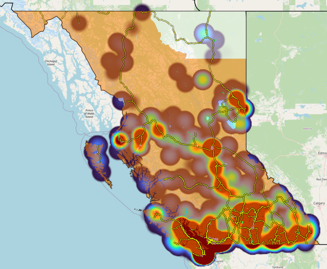
British Columbia has an estimated population of 5,683,201 in Q4 2025, so says StatsCan. The 2021 Census measured a population 5,000,879 (sum of subdivision population). This is a population increase of 13.64% over 4 years. This works out to a population increase of 3.41% per year in the 2020s so far.
| 1991 | 1996 | 2001 | 2006 | 2011 | 2016 | 2021 | 2025 | |
| Population Count | 2,618,146 | 3,198,363 | 3,767,454 | 3,994,527 | 4,395,819 | 4,648,055 | 5,000,879 | 5,682,201 |
| Population Shift | X | 22.16% | 17.79% | 6.07% | 10.05% | 5.74% | 7.59% | 13.64% |
Between 1991 and 2025, the population of BC increased by 117.03%.
Census Subdivision
There are 751 Census Subdivisions in British Columbia, as per the 2021 Census. Subdivisions appear to be added every Census, so this will likely change for 2026.
StatsCan uses an overly-complex scheme for classifying its subdivisions, which are its lowest denominator statistic denomination (superceded by Census Divisions, comparable to electoral districts). They employ 57 different CSD type codes, and luckily BC only gets 13 of them.
| CSD Type Code (2021) | Type Expanded | Type Simplified | Count |
| CY | City | Municipality | 52 |
| DM | District Municipality | Municipality | 49 |
| IGD | Indian Government District | Reserve | 2 |
| IM | Island Municipality | Municipality | 1 |
| IRI | Indian Reserve | Reserve | 423 |
| NL | Nisga’a Land | Other | 1 |
| RDA | Regional District Electoral Area | Other | 160 |
| RGM | Regional Municipality | Municipality | 1 |
| S-É | Indian Settlement | Reserve | 3 |
| T | Town | Municipality | 14 |
| TAL | Tla’amin | Other | 1 |
| TWL | Tsawwassen Lands | Other | 1 |
| VL | Village | Municipality | 43 |
This is my simplified classification scheme:
- Municipality: 160
- Other: 163
- Reserve: 427
Municipalities
Municipalities are incorporated population centres with their own local government and fiscal accounts. They also have statistical profiles with provincial and federal governments. Municipalities can range from hick villages like Clinton to globalist metropolitan centres like Vancouver.
According to both the BC map and 2021 Census Subdivision datasets, there are 160 municipalities in BC.
According to StatsCan’s Community Well-Being Index, municipalities had an overall 30 year increase of 10.95% (73 to 81).
Reserves
According to the Census Subdivision dataset, there are approximately 428 subdivisions in BC that are reserves. This number is somewhat up for interpretation, as it is clear that that most individual reserves are not classified as subdivisions. Also, a few of these subdivisions have different classification types despite all matching reserve polygons as defined by the federal reserve map dataset. In the federal reserve map, there are approximately 1600 unique reserves in BC (with an additional 10 that were added to the Wolfchart database, based on reserves listed in individual band pages on the federal website).
According to StatsCan’s Community Well-Being Index, reserves had an overall 30 year increase of 26.4% (53 to 67).
Other
Most of this subdivision area appears to be unincorporated regions around BC; mostly rural and governed by regional districts. There are a few interesting subdivisions that are neither municipalities or reserves, such as Tla’amin, Nisga’a Land, and Tsawassen Lands. These appear to be the result of fee-simple treaty negotiations between First Nations and the BC government and perhaps operate as autonomous districts, but I will need to look more into it.
According to StatsCan’s Community Well-Being Index, non-municipal/reserve subdivisions had an overall 30 year increase of 2.56% (78 to 80).
Citations
Updated January 22 2026